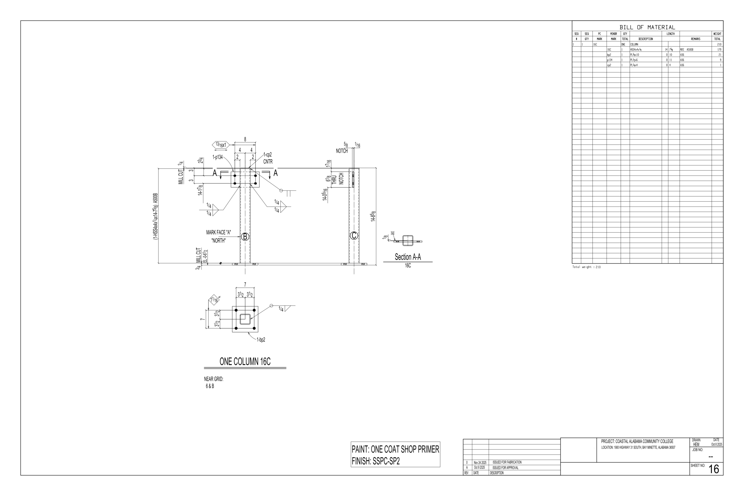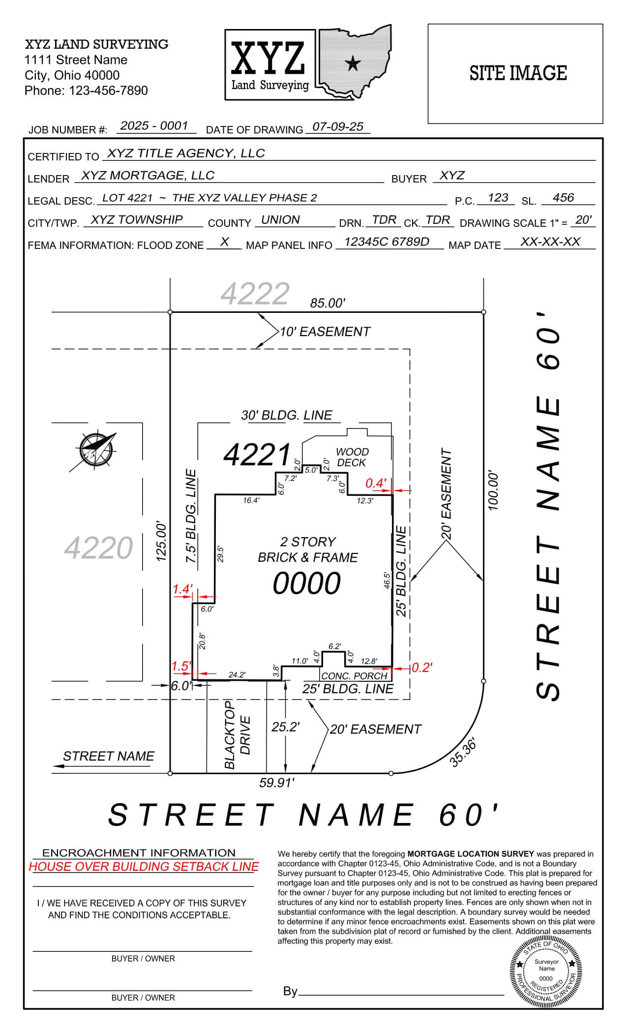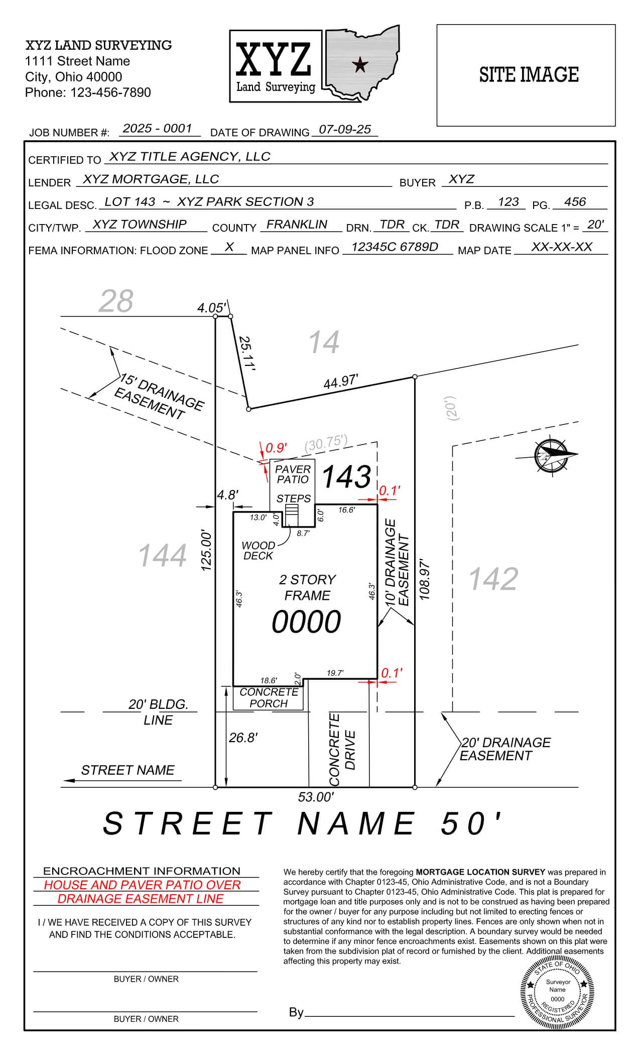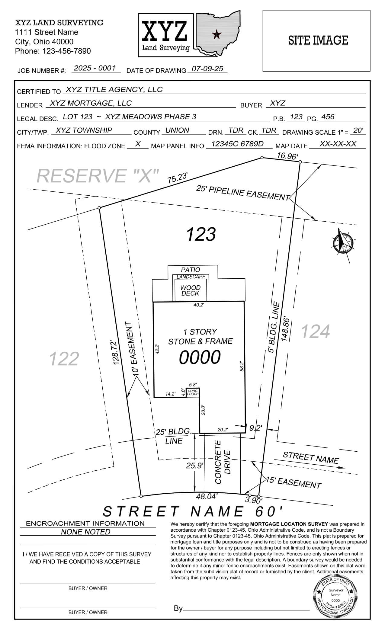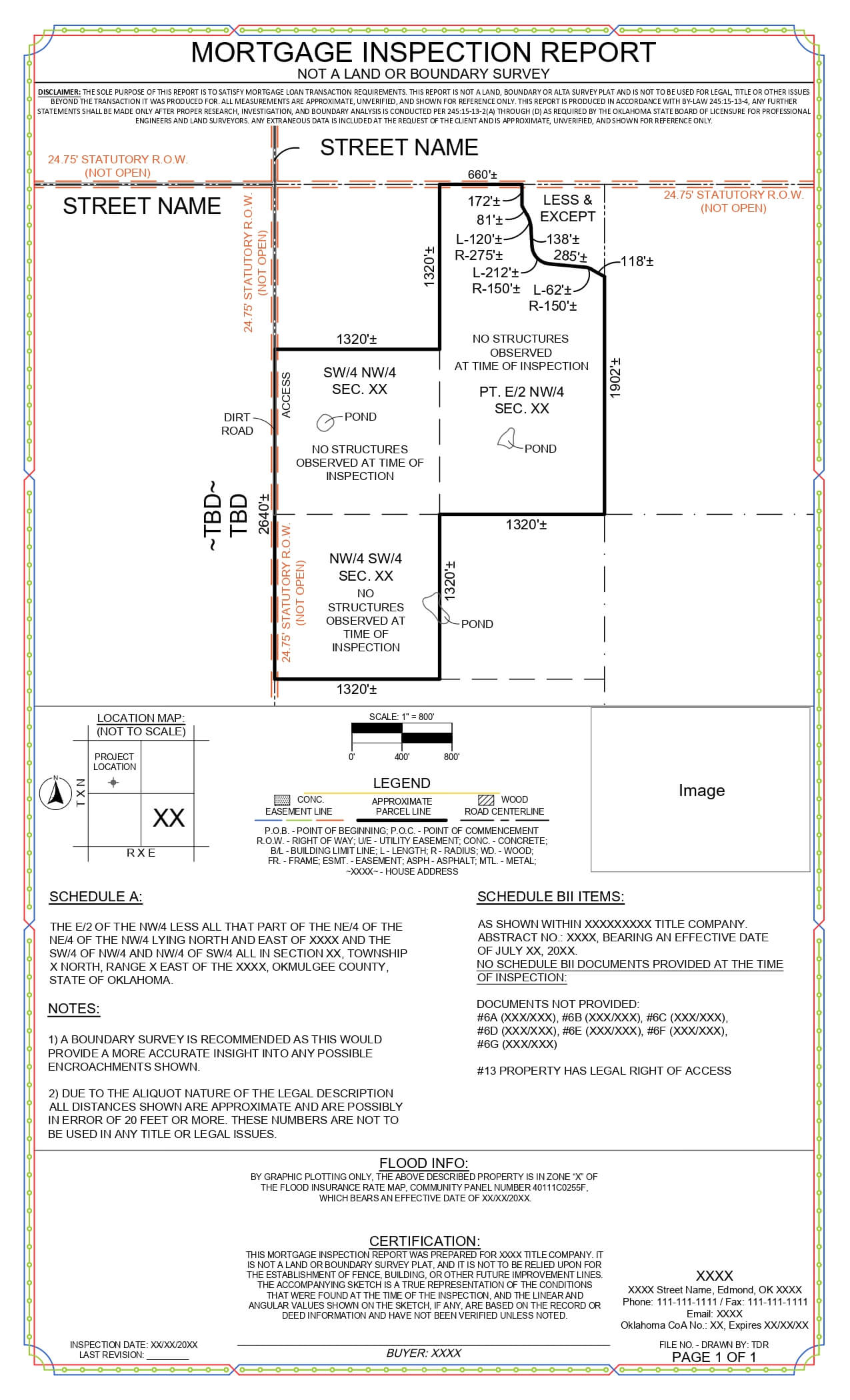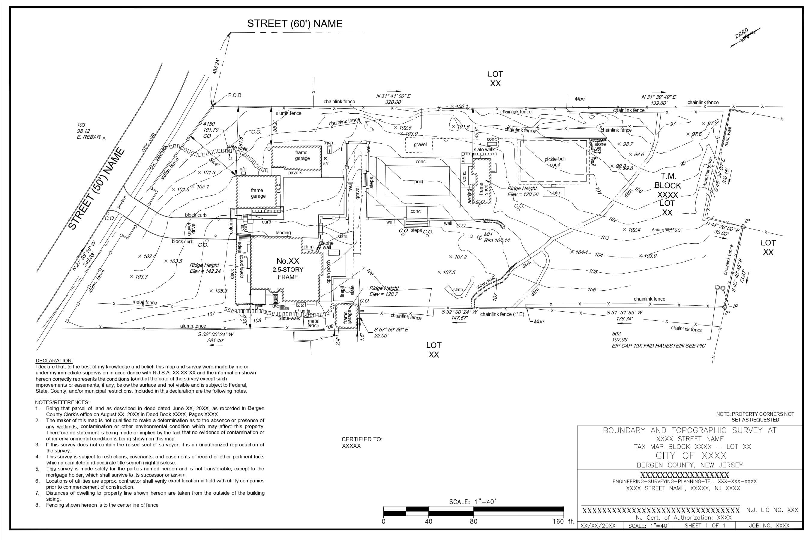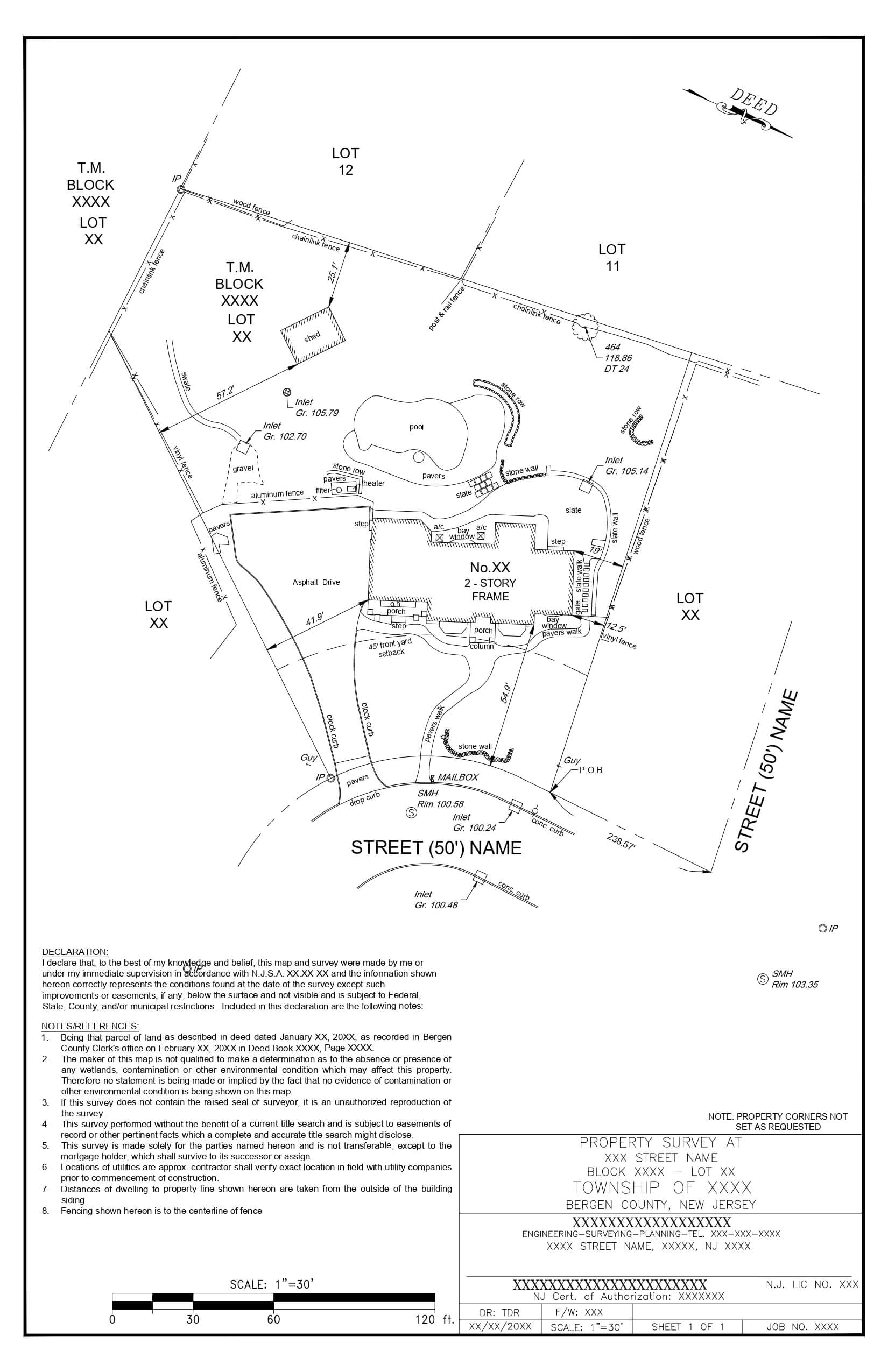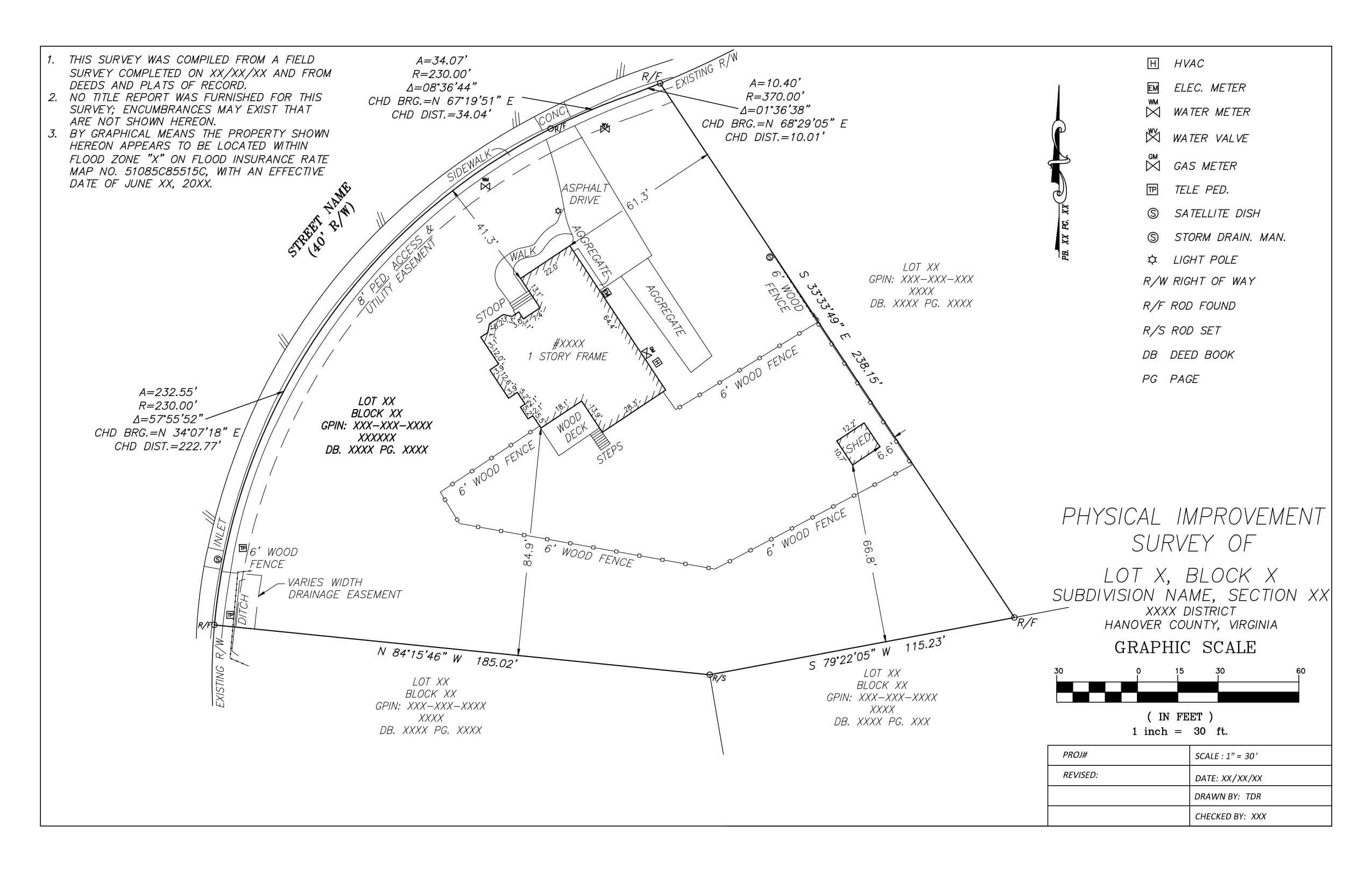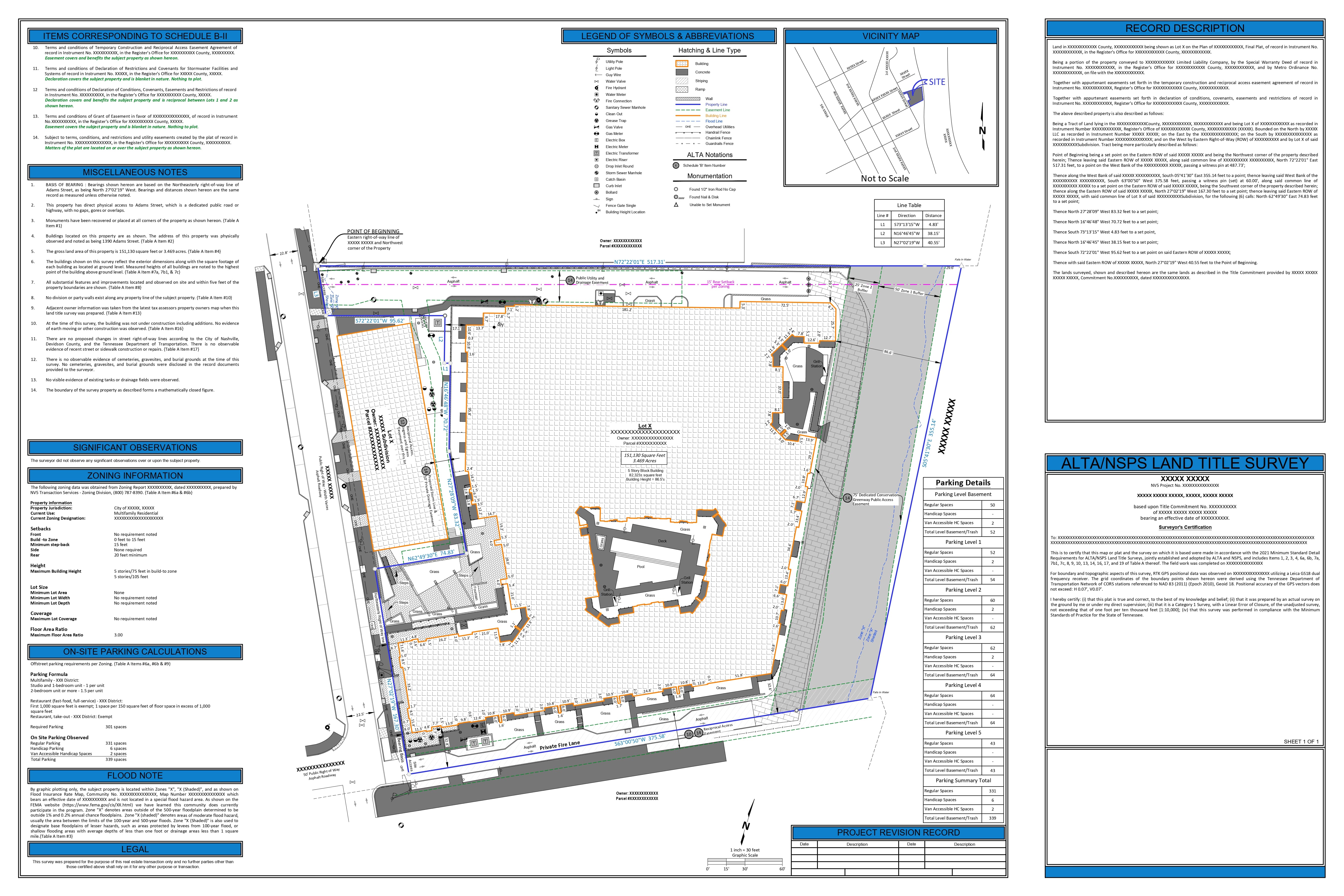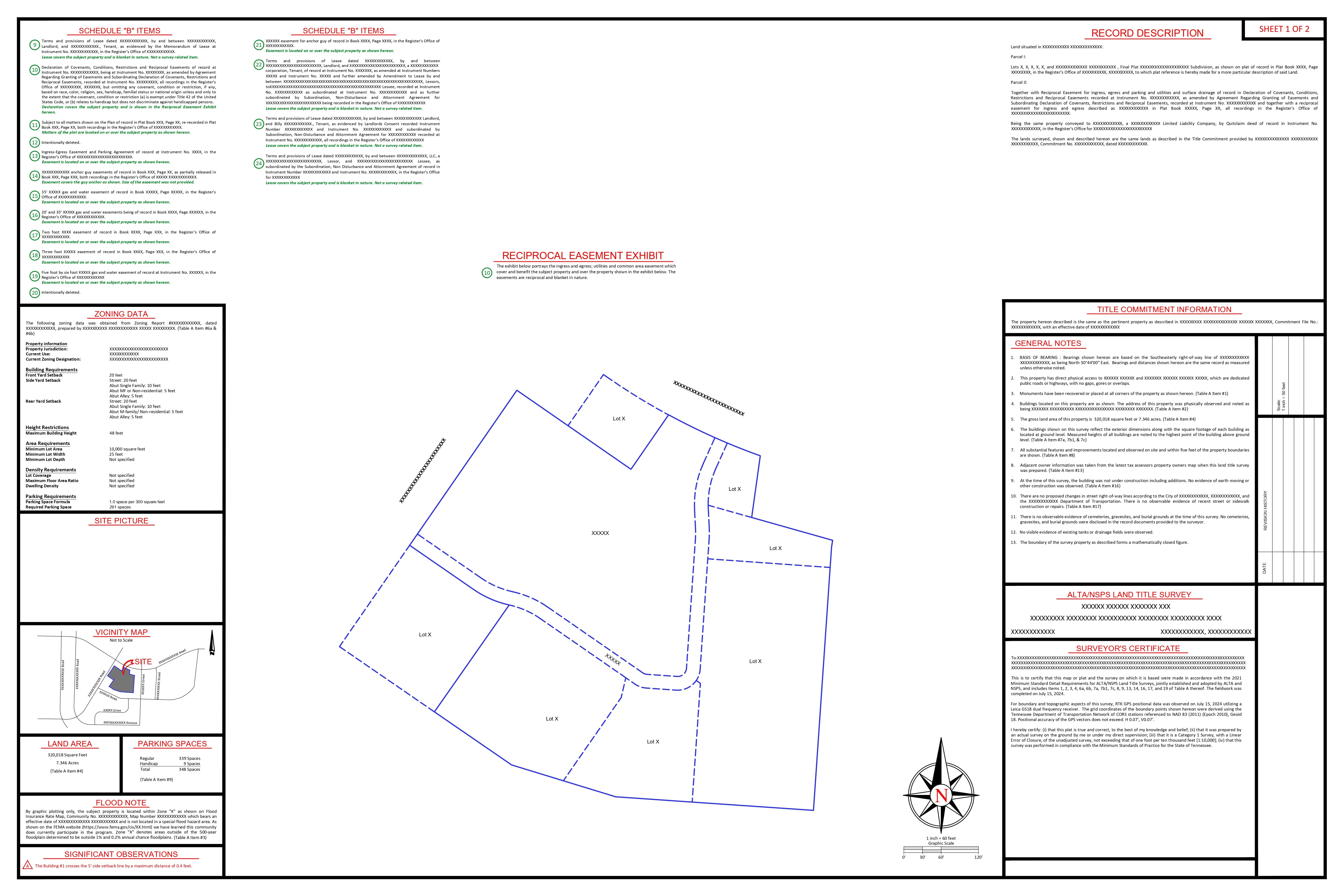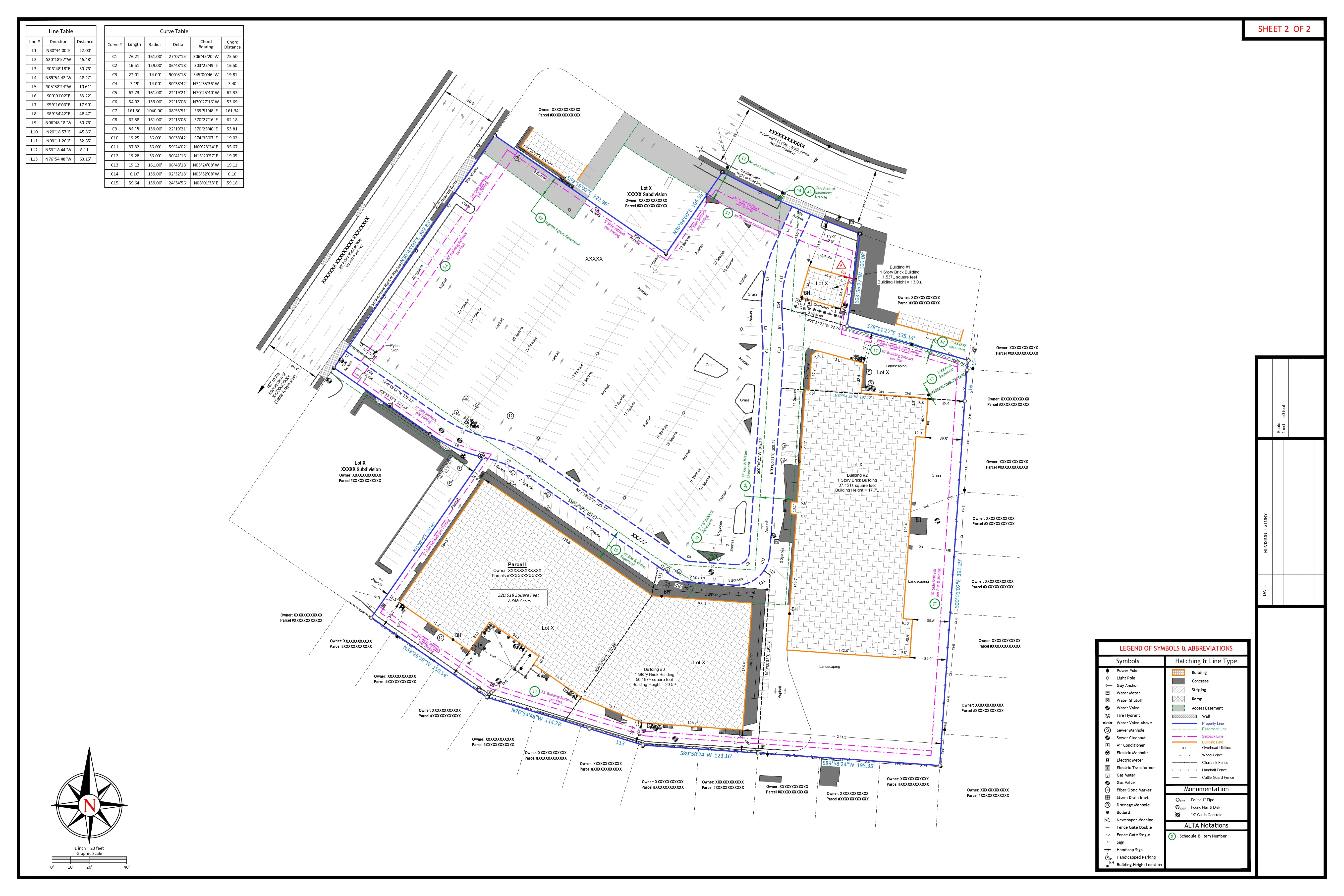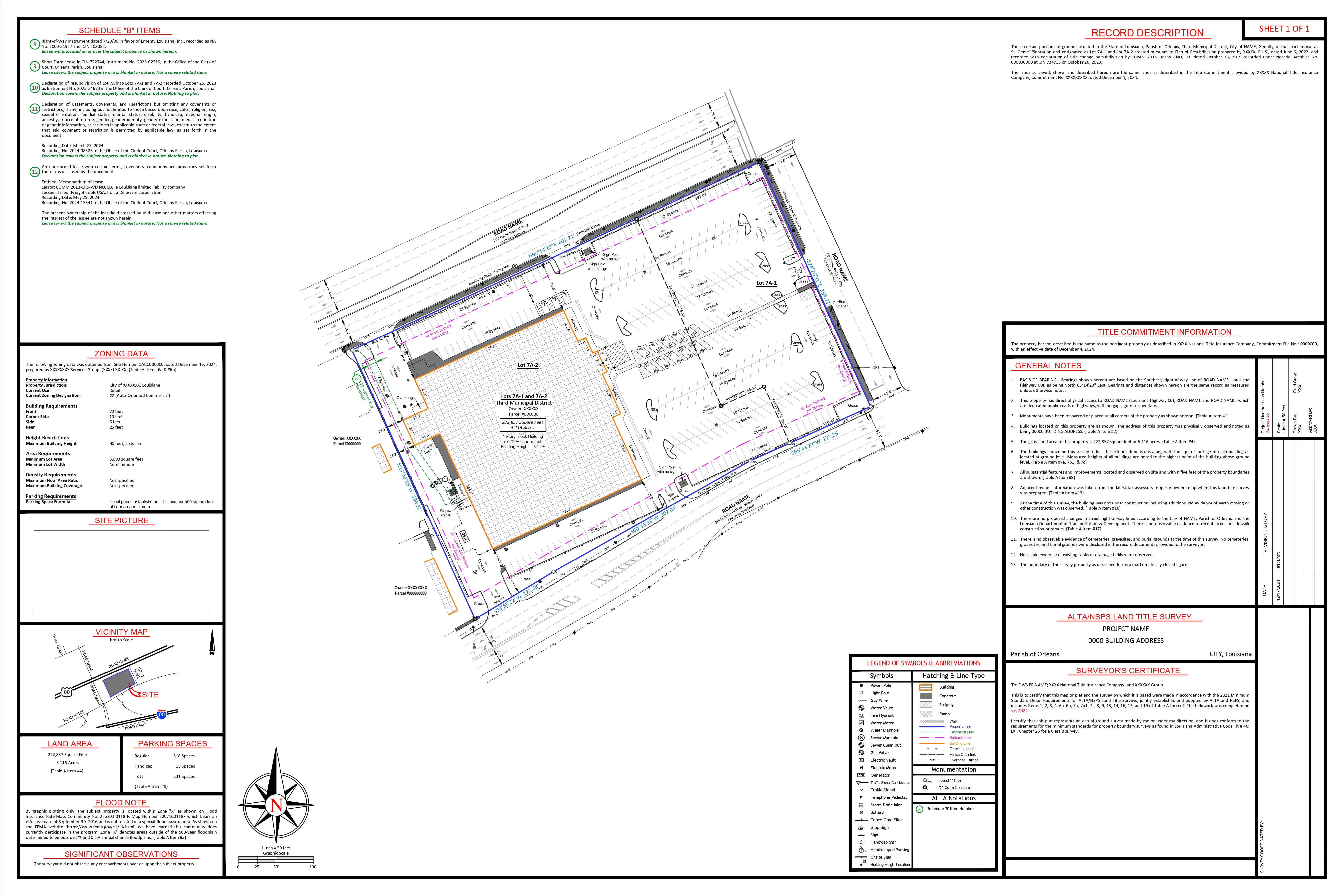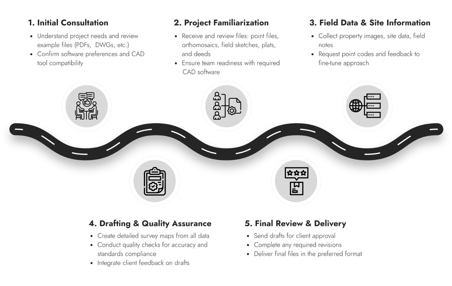


Unmatched Precision
Every draft is created with accuracy and close attention to detail, ensuring your survey data is translated exactly as required for legal, boundary, or construction needs.


Tailored Services
Solutions are customized for your unique requirements—boundary surveys, topographic mapping, ALTA/NSPS surveys, and construction layouts—delivered to your standards, formats, and templates.

Quick Turnaround
With streamlined workflows and a skilled production team, we meet your deadlines with reliable, on-time delivery, so your projects move forward without delays.

Cutting-Edge Technology
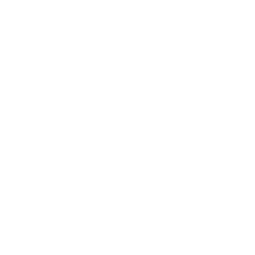
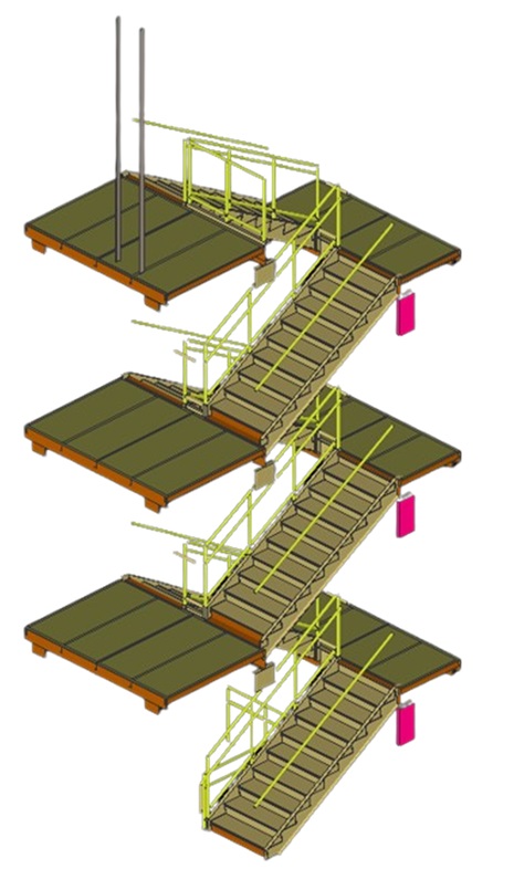
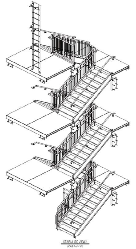
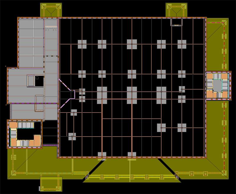
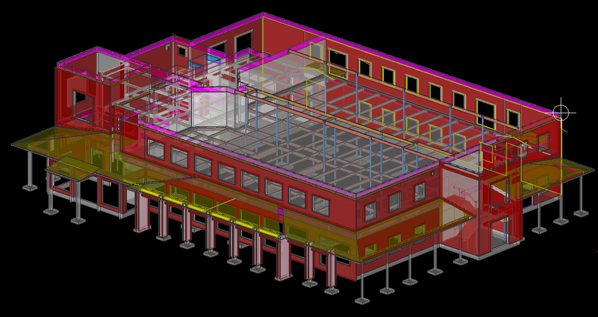
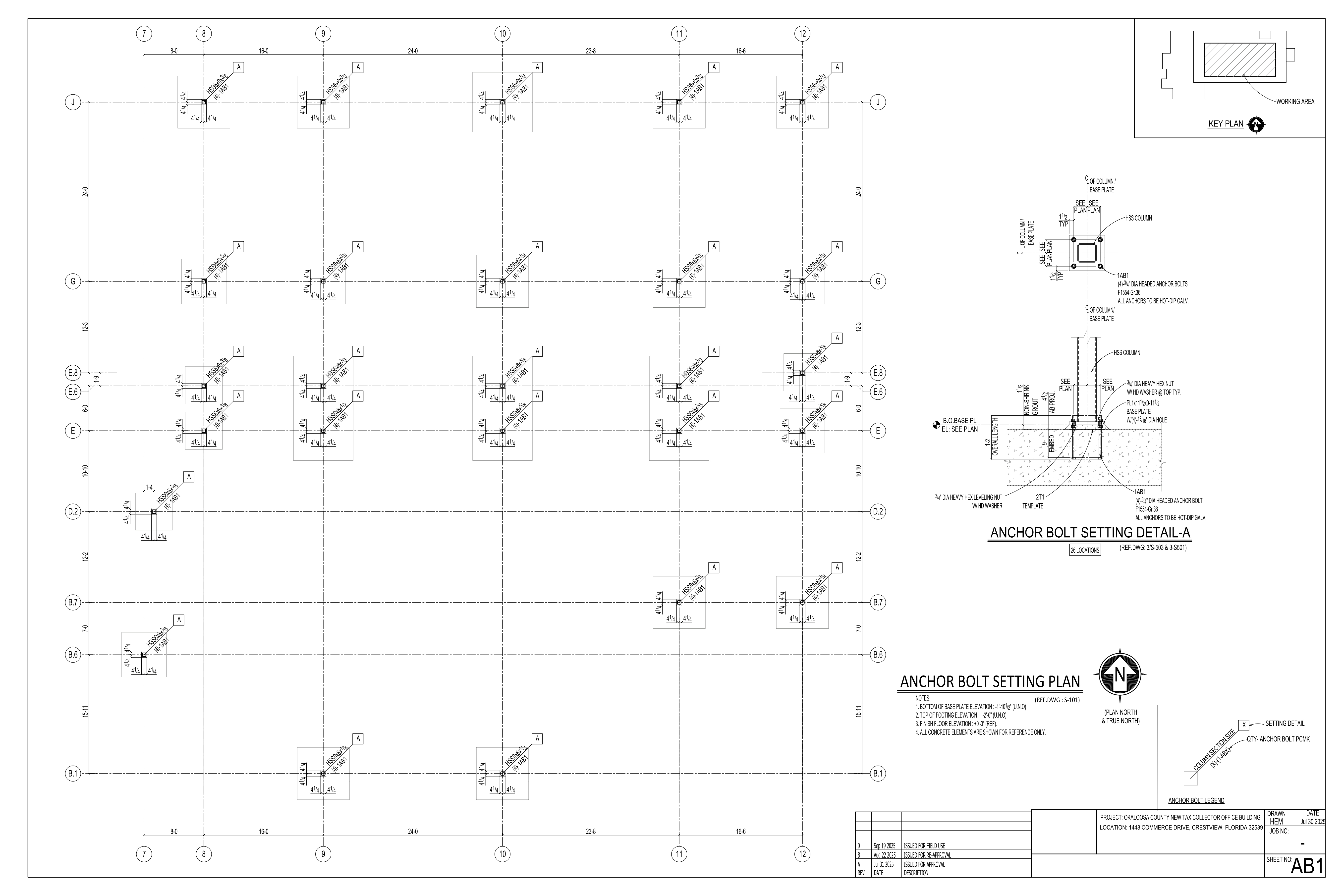
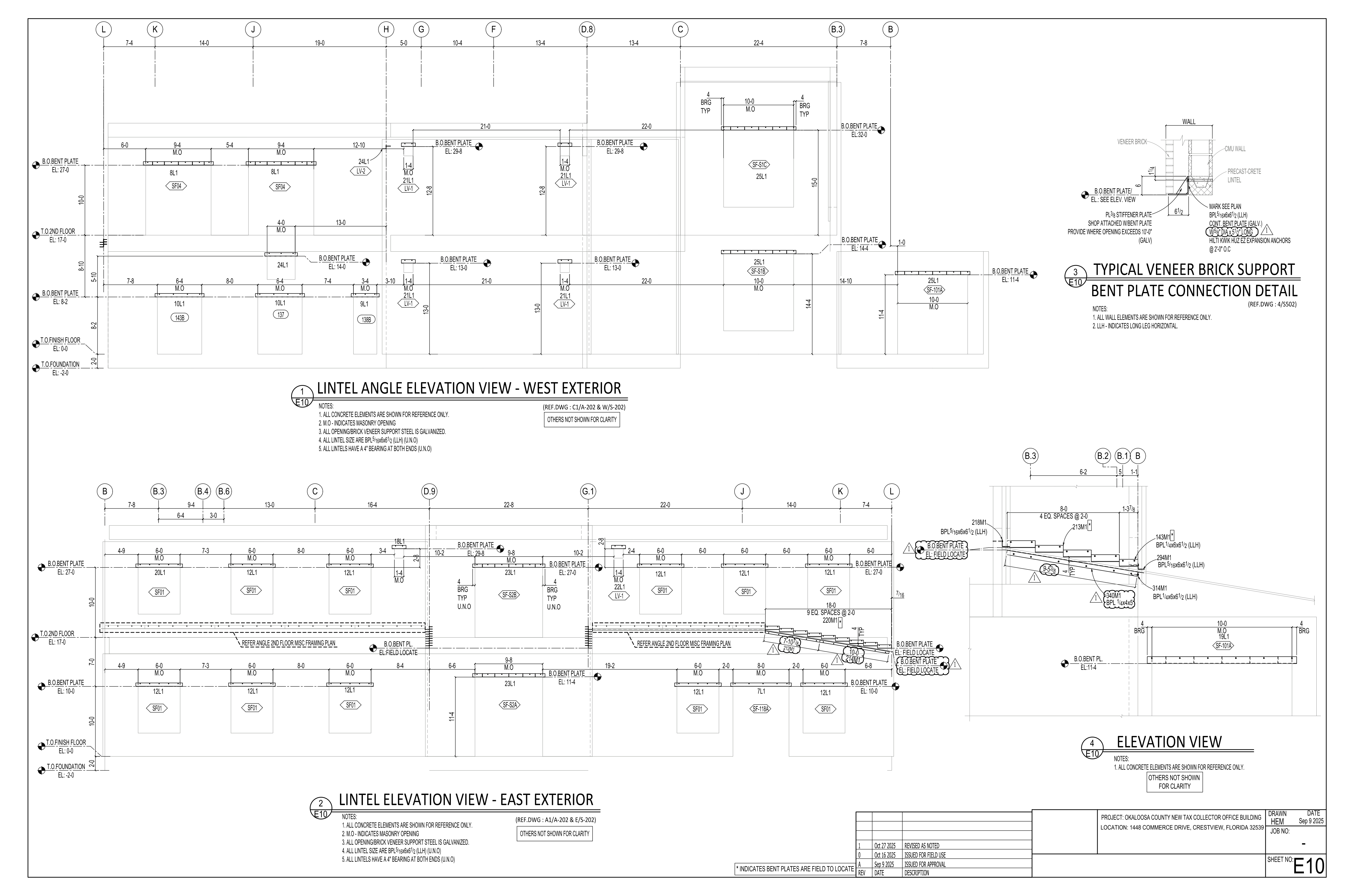
Work is completed using the latest CAD and survey software tools (AutoCAD, Civil 3D, Carlson, and others), enabling high-precision and industry-compliant deliverables.

Expert Team
Decades of combined experience in US land surveying and CAD drafting means you receive drafts that are right the first time, minimizing costly revisions.

On-Demand Scalability
Instantly ramp up drafting capacity for large or urgent projects, without the overhead of hiring or training. Scale as you need, when you need.
Better Bottom Lines
Outsourcing reduces staffing, technology, and training costs while improving efficiency, allowing your firm to focus on core activities and strategic growth.

Seamless Communication
A dedicated point of contact and clear lines of communication ensure your instructions are followed and questions are promptly answered.

Risk Reduction & Compliance
Every drawing goes through thorough quality checks to ensure accuracy and compliance with US surveying standards and legal requirements.

Data Security
Your sensitive project files are managed with secure data transfer and confidentiality—protecting your business and your clients.

Autodesk Civil 3D

Auto CAD LT

Carlson

Bentley MicroStation
Leica Cyclone 360

Revit

Pix4D

TheDraftRack © 2025
We seek to take the expertise acquired over the years & keep working diligently to adapt ourselves to the growing demands of the ever-so-changing AEC industry. The process is to learn – replicate – learn – replicate.